Posts

Showing posts from July 16, 2017

Day 48 – Tuesday, July 11

Image
Bishop, Calif. Zero Day We decided to take a zero day today to let our bodies recover and to give the snow on the high passes another day to melt before we continued. Stephen got up early and did all our laundry at Sierra Suds coin-op laundry around the corner. We both bought new shoes at one of the outfitters in town. Bishop isn't a big town, but it's the biggest town for many, many miles in every direction so it feels bigger than its population. It's the closest town to a lot of popular climbing routes, so there are several gear stores in town, including a used gear exchange that's awesome. We bought a new water filter to replace our gravity filter that had slowed down to the point of being unusable. Stephen also bought a new sleeping pad, an inflatable rather than the folding z-lite he had been using. We saw lots of hikers we've seen before in town, including Papa Bear, Caboose, Woodchuck and Rooster, Moe and Toe, Shade Baby and others. We enjoyed din

Day 47 – Monday, July 10

Image
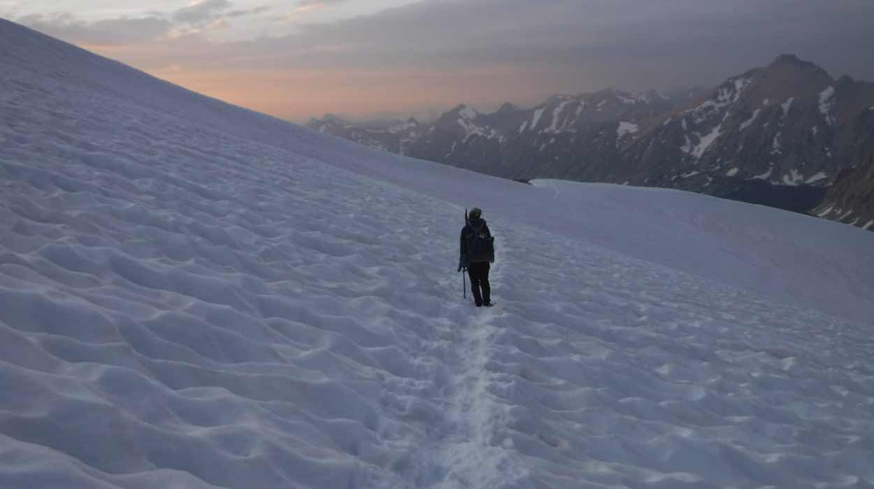
PCT Mile 782.5 to PCT Mile 788 (plus 7.5 miles over Kearsarge Pass to Onion Valley Trailhead to Bishop, Calif.) Day Total: 15.5 Miles It was beautiful and very chilly when we awoke on a rock island surrounded by snow this morning. We'd made it just low enough to camp among small trees, a beautiful spot looking out on Kings Canyon National Park. We had a little bit of trouble following the trail in the morning because of the snow but before long the trail was clear. We followed a creek for a while before coming to a crossing. The creek was raging and I didn't feel good about walking through. We found a log a little upstream of the trail crossing and carefully scurried across. It was scary. After Stephen and I made it across we sat for a while and ate a second breakfast while our heartrates went back down to normal. We chatted with a dad and son from coastal Georgia who were out for five days of backpacking. They were having a hard time with the elevation, which

Day 46 – Sunday, July 9

Image
PCT mile 767.0 Crabtree Meadows to PCT Mile 782.5 Day Total: 15.5 Miles The thing about staying in the same tent site two nights in a row is that you manage to really unpack. Getting everything sorted and put back in our packs took us a good while. We also ran into some friends we made at Kennedy Meadows who got in late the night before and were heading up Whitney that day. We finally started back towards the trail around 8:30. We had a pretty incredible morning. The Sierras do not disappoint. Our plan was to get over Forrester Pass, the highest point on the PCT . Before Forrester though, we had three creeks to ford. The app we use to help us navigate also has water sources. Often times it will note a seasonal stream that may be dry. A note on 2017: no seasonal stream is dry. Streams are gushing and creeks are rivers. This makes the fords one of the more challenging and disconcerting aspects of the trail. The first two creek crossings, Wallace Creek and Wright Creek,

Day 45 – Saturday, July 8

Image
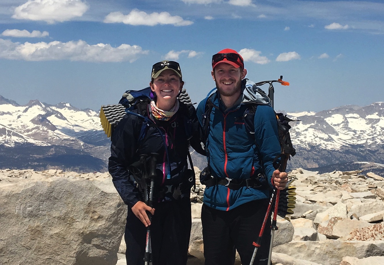
Mount Whitney Day Total: 17 Miles The top of Mount Whitney is exposed, and the last five or six miles of trail to the summit are all above tree line. We knew there was a chance of afternoon storms so we wanted to get to the summit – and off the summit – as early as possible. We woke up at 5:30 and quickly packed up just what we needed for the day – warm clothes, rain gear, crampons and ice axes, and snacks. We left our tent set up at Crabtree Meadows with the rest of our stuff inside and were hiking by 6 a.m. with our light backpacks. The trail climbed gradually from the beginning up to the beautiful Timberline Lake. We hit a few small snow fields in the next mile before reaching Guitar Lake. It really is shaped like a huge guitar! There were lots of marmots marming around in the talus near the lake. We walked over a few more snow fields, none more than about 150 yards, and then started to climb switchbacks up, and up, and up. We were slowed a little by the altitud

Day 44 – Friday, July 7

Image
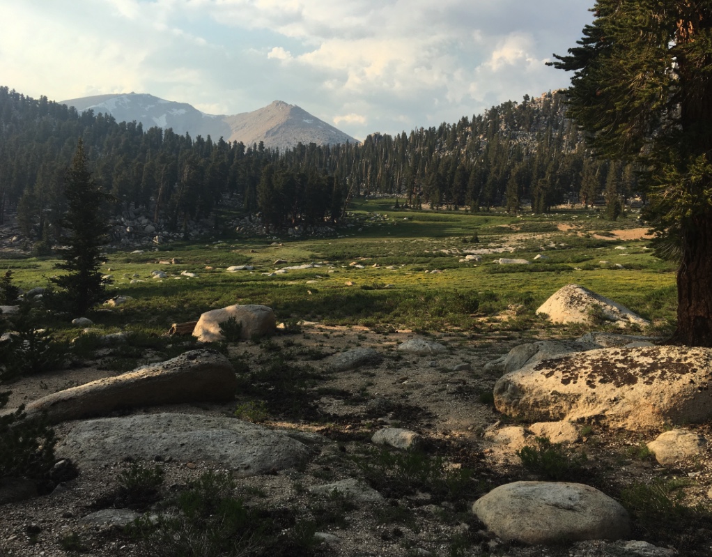
PCT mile 750.8 Chicken Spring Lake to PCT mile 767.0 Crabtree Meadows  Day Total: 16.2 Miles We're in the Sierras now. Holy moley! Immediately after hiking up from our campsite at Chicken Spring Lake we were rewarded with unbelievably gorgeous views of huge, snowy, granite mountains. We'd read that we'd feel like we were in the Sierras after Cottonwood Pass, and that proved to be true. We crossed into Sequoia National Park this morning, where the rules change about food storage because of bears. From this point forward and for the next several hundred miles, we're required to have the bear canister that we picked up in Kennedy Meadows. Apparently Sierras bears are pretty smart. After a couple miles of up, we had a long, gradual descent through beautiful big trees, down to the Rock Creek ranger station where we ate lunch. After peanut butter and honey sandwiches, we crossed a gushing creek, walking through swampy grasses with our feet soaked. This year is

Day 43 – Thursday, July 6

Image
PCT Mile 730.8 Death Canyon Creek to PCT mile 750.8 Chicken Spring Lake Day Total:  20.0 Miles This morning was a big climb, up to above 11,000 feet, but made enjoyable by the huge panoramic views. We could see snowy mountains for a long way in one direction and the hot, flat Owens Valley below on the other side. The contrast of the two views was a good representation of where we are: Desert to mountains. We had a late lunch in the shade by a creek with a group of hikers who were headed off the trail into the town of Lone Pine later in the day. They were planning to skip all the way north to Lake Tahoe to avoid the snowy Sierras. I've been surprised how many people we've met who are skipping sections of the trail. If anything, if gives me more conviction about hiking straight through.  In the afternoon, we met a cool group of hikers who started about the same time we did in late May, with fun trail names: Woodchuck, Rooster, Shade Baby and Happy Baby (n